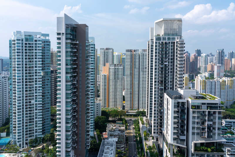
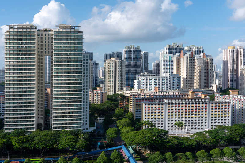
DDA plans to cut Yamuna zone by 40%
 The Delhi Development Authority has planned to cut the city’s ‘O’ Zone, which includes river Yamuna and its riverfront by about 40%. This move was made as part of regularizing illegal settlements in the belt. According to the plan, about 3,100 hectares of land in the zone would be re-zoned.
DDA informed that rezoning was essential for redevelopment of illegal settlements in Jaitpur and Methapur. Since there is a total embargo on any construction in the O Zone, the residents of these settlements are not only unable to repair or reconstruct their houses, but also deprived of facilities like hospitals, schools, community centers etc.
The move was termed ‘ disastrous’ by environmentalists, who said that the it would tamper the river’s ecology to a great extent. In addition to illegal structures on the current river zone, the plan would also exclude other illegal encroachments on it, like the Akshardham temple, Shastri Park and Commonwealth Games village which are aggravating pollution in River Yamuna.
A draft of the public notice has been uploaded on the DDA website for public reference. Citizens are asked to raise objections and provide suggestions, if any, on the modifications, within 45 days from Saturday.
Convener of the Yamuna Jiye Abhiyan (YJA) stated that the public notice is illegal as no environmental clearance from the competent authority has been taken before issuing it. Moreover, no approval has been provided by the concerned authorities and persons, viz. Yamuna Standing Committee, Delhi Urban Art Commission and the Yamuna River Development Authority.
Classification of zones
The National Capital Territory of Delhi includes fifteen zones or divisions, out of which eight are in Urban Delhi (A to II) and six in Urban Extension and rural areas (J to N & P). Zone ‘O’, which comprises River Yamuna and the River Bed Area falls under the land-use category of A -1, that is, Agricultural and Water Body.
Zonal Development Plan for River Yamuna Area
Due to its unique characteristics, the Zonal Development Plan for River Yamuna Area (Zone ‘O’ and part of Zone ‘P’), had been planned differently from that of the other zones.
As per the Master Development Plan of 2001, the Zonal Development Plan for River Yamuna area includes part of Zone ‘P’ that consist of areas between the North of Wazirabad Road and Northern boundary of National Capital Territory of Delhi (NCTD), in addition to Zone ‘O’, which is south of Wazirabad Road upto the Southern boundary of the National Capital Territory of Delhi.
The above mentioned zones are eco-sensitive areas that consist of large stretches of land between water course and existing bunds on the sides of river Yamuna. As per the plan, no development is to be allowed on these stretches.
An Ecosystem Based Concept Plan was suggested by School of Planning and Architecture, New Delhi for identifying alternative approaches to planning and development of Yamuna River Bed. Some of the main components of the suggested plan were augmenting water recharge potential, reducing pollution of Yamuna water, conservation of Natural areas, hierarchy of green areas, recreation and continuation and renewal of existing areas.
Location Boundaries and Area :
The river zone covers a total area of about 9700 hectares, which includes about 6100 hectares in Zone ‘O’ and about 3600 hectares of land in ‘P’ Zone. Approximately 8100 hectares of the total land is dry, while the rest 1600 hectares is under water. The Yamuna is bounded by NCTD boundaries on its North and Sourth, and the Marginal Bund and the NCTD boundaries on its East. On the west, the river is bounded by the Marginal Bund, Ring Road and proposed NH-2 along the Agra Canal.
Integrated biodiversity development
DDA states that the proposal for integrated biodiversity development, which includes rezoning and expansion of the river front, would help in creating a strong city image. It would also provide opportunities to design systems that help in recharging ground water from Yamuna. The authority states that a sustainable and environmental friendly method has been devised for urban development on the river front. Appropriate considerations have been given to the land, understanding that it has a natural potential for developing into a biodiversity zone. Developments in the zone would ensure conservation of natural heritage of the river basin while catering to the urban requirements. Recreational facilities would be provided to the public, in addition to large city greens.
Disadvantages of slicing off the river zone
Members of the Yamuna Jiye Abhiyan (YJA), in the letter to the Lt. Governor, expressed their concern about the move and stated that the same is audacious , and unacceptable as it is illegal and against the interest of the Yamuna.
The move to reduce the river zone area would have a huge impact on the drainage system in the city and also affect the ecology of the river to a great extent. Groundwater recharge and ability to deal with floods would also be impacted.