HMDA to prepare Feasibility Report on Proposed RRR Project
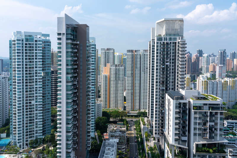
 The Hyderabad Metropolitan Development Authority (HMDA) has come out with concrete plans for the development of the proposed Regional Ring Road (RRR), with another of its prestigious projects, the Nehru Outer Ring Road (ORR), nearing completion. The HMDA has gone ahead with inviting proposals for conducting preliminary feasibility studies for the development of the 290-km RRR, 210-km of which will involve development of existing roads and the remaining distance, involving a new alignment. The proposal for the RRR has been incorporated in the master plan for 2031.
Toll system to be implemented in phases:
The HMDA is planning to introduce a toll system in future for motorists using the RRR, on the lines of the toll system that is in place for motorists traveling along the access-controlled, 159-km ORR. However, it is proposed that this plan will be implemented in a phased manner, gradually getting converted from a partially-controlled to a fully-controlled stretch. This will give some leeway for the surrounding areas to develop as well as traffic volumes along this stretch to increase. Once the RRR stretch gets converted into an access-controlled carriageway, motorists will have to pay toll charges, as is the case with the ORR.
Coverage of RRR:
The proposed RRR is being planned to cover many of the extended areas belonging to HUDA, considering the future prospects that these areas hold. Many villages are likely to come under the purview of the proposed RRR. They include villages like Sangareddy, Toopran, Eddumailaram, Narsapur, Shadnagar, Chevella, Shabad, Gundelaguda, Daudguda, Malkapuram, Ibrahimnagar and Bibinagar.
Basis of feasibility studies:
The consultants responsible for conducting feasibility studies regarding the proposed project, will present their report based on various factors related to the project. They include mapping for the proposed RRR alignment, land usage, forest land coverage, water bodies, hillocks, wet land, religious structures, village settlements, cross drainage, road crossings, pedestrian and animal crossings, bridges, and a broad mapping of population and settlements falling in and around the alignment for the RRR. Advanced mapping techniques like remote sensing and GIS with digital global positioning system will be employed in the process.
As part of the feasibility studies so as to control road access, various measures were proposed like obtaining details on the location of toll plazas, amenities along the wayside, operation and maintenance infrastructure, including toll management buildings, safety structures etc. Besides, the consultant in charge would also provide cost estimates regarding extend of land acquisition, construction costs, relief and rehabilitation package costs, costs for shifting of utilities etc. The consultant for the proposed project would be finalised by the second week of October, who will be entrusted with the task of completing the preliminary project report within eight months. However, the state government has still to take a decision on the implementation of the project.
Stages of project development:
To simplify the process of development of the proposed RRR, the preliminary concept design is being divided, covering three stages, namely, short-term development, with 2021 as the deadline, mid-term as well as long-term development, with 2031 as the deadline. As in the case of the development of the ORR, which is a eight-lane access-controlled carriageway, the proposed RRR will be developed in a phased manner extending from two, three, four to a six-lane carriageway.